

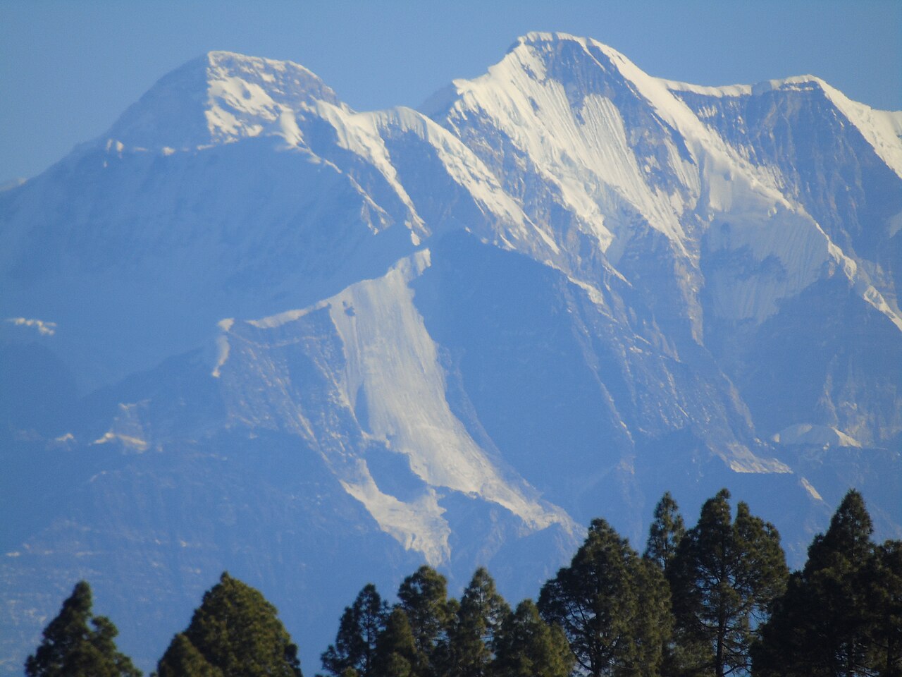
About Mrigthuni
GPS: 30°17′24″N
Height: 6855.0
Division: Bageshwar Division Bageshwar
Route: Loharkhet ⟶12km ⟶ Dhakuri⟶ 8Km⟶ Khati ⟶ 8km⟶ Sukram Glacier ⟶ 10Km⟶ Mrigthuni
Weather at this expedition
Full 7-day forecast
Mrigthuni
· Peak / trail coordinates · approx. location · 6855 m peak
10°C
Clear sky
Feels like 8°C · Daytime
Humidity
44%
Wind
7 km/h W
Precipitation
0.0 mm
Sunrise / Sunset
06:34 AM ·
05:16 PM
Today
12 Nov
10°
2°
—
Fri
13 Nov
12°
2°
—
Sat
14 Nov
10°
0°
—
Sun
15 Nov
8°
-2°
1.6 mm
Mon
16 Nov
9°
-0°
—
Tue
17 Nov
10°
0°
—
Wed
18 Nov
11°
1°
—
No activities listed yet for this expedition.
- Carry your permit and a valid government photo ID at all times.
- Hire a registered guide and stay on the marked trail.
- Carry warm clothing, a first-aid kit and adequate ration.
- Camp only at designated campsites.
- Pack out all your waste — biodegradable and non-biodegradable.
Don'ts
- No polythene, plastic carry bags or single-use wrappers.
- No fires, smoking or cooking on wood inside the protected area.
- Do not pluck flowers, plants or remove any natural sample.
- Do not feed, chase or disturb wildlife.
- No loud music or amplified sound; no night travel inside the park.
FAQ coming soon. Reach out to the Forest Division office in Joshimath for any specific question.
Location
30°17′24″N
Book this expedition
As per rules
- DifficultyEXPEDITIONS
- Length—
- Max altitude6855.0 m
- Best season—
Permits are subject to availability and forest department approval.
Announcements
No announcements right now.
Gallery
Biodiversity in this region

Himalayan Black Bear

Musk Deer

Snow Leopard

Monal Pheasant